GPS technology is the wave of the future in land surveying.
The field of surveying is continuously changing. Technological advances make this profession a moving target. But you can stay on top of your game with PDH online courses.
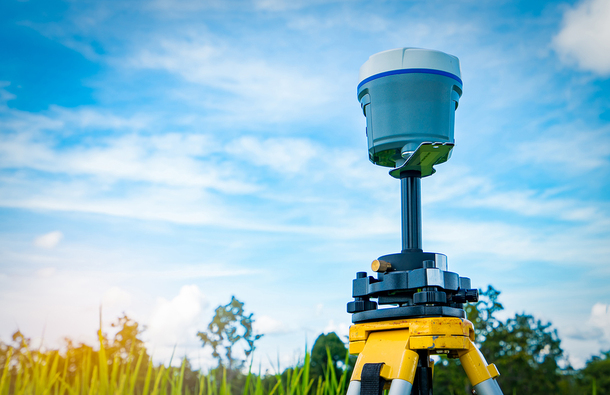
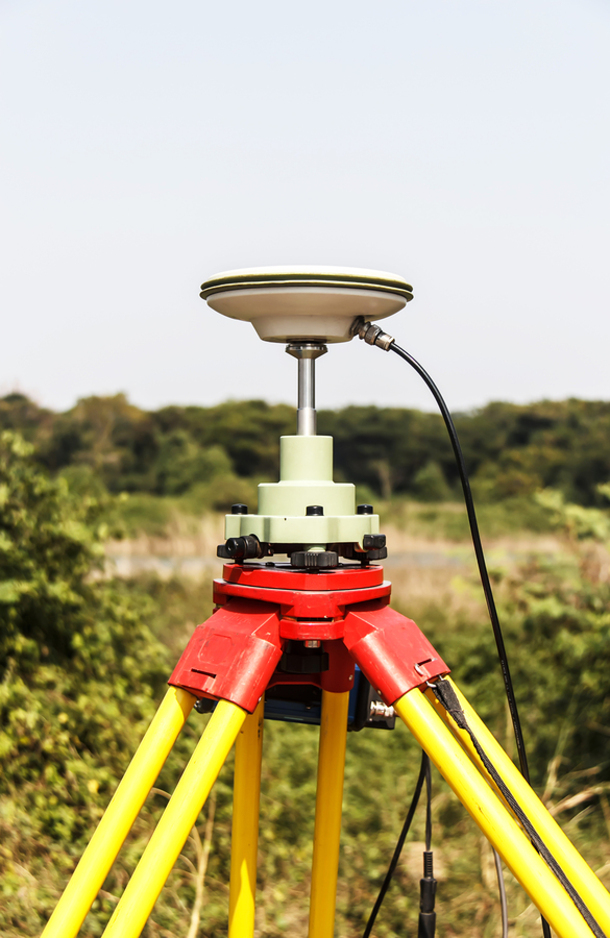
One of the most groundbreaking developments in recent years has been GPS technology. Using GPS equipment for land surveying makes the job infinitely easier and faster. One reason is that it is no longer necessary to set up survey stations within sight of each other. As long as a station can receive signals from four satellites, its location can be pinpointed without the need to measure distance between stations.
According to GPS.gov, GPS technology was originally developed for the military, but one of its first civilian uses was for land surveying. They note that today, the technology is also used to map waterways by pairing it with sonar equipment.
GPS Has Certain Limitations
As magical as GPS technology sometimes seems to be, however, it has its limits. And for this reason, land surveyors still frequently need to fall back on their trusty, time-tested tools.
For example, objects such as trees, tall buildings, and land formations can get in the way of GPS signals. In these instances, land surveyors must use their theodolites, electronic distance meters or total stations, although sometimes in conjunction with the GPS.
GPS equipment is also costly. This makes its use less common than it would be if it were cheaper, and thus, fewer surveyors have the chance to work with this equipment.
When a land surveying company considers the cost of investing in GPS equipment, they must factor in the cost of training staff in how to use it, plus the time it takes for everyone to become proficient.
Learning GPS technology is essential for land surveyors.
PDH Online Courses
You can start the ball rolling by taking the PDH online course, Applied Satellite Positioning, Adjustments and Analysis. After completing this six-hour course, you will understand how to use GPS equipment, including learning the basics of GPS framework, how the receivers work, the methods and techniques used for collecting data, how to use this data and related software to produce a report.
You can bring this knowledge back to your company and educate them on the value of investing in GPS technology. You may even offer to help train others in the use of this vital equipment.
An article in GPS World says that the average age of a land surveyor today is almost 60, and entreats them to “get on board and embrace the future” by learning the new technology and by teaching it to others.
Whether you want to make sure you don’t fall behind in the latest advancements in your field, or you want to be the first one to learn the new technology, turn to PDH online courses. Even if your company is not yet ready to take the leap, you have to complete a certain number of continuing education credits to keep your license up, and this is a great area to explore.
The course is regularly tweaked to include new information and updates, so even if you are already well-versed in GPS use in land surveying, taking a refresher course is always helpful, especially if you aren’t using the technology daily.
And if you ever leave your company for a different one, this knowledge may come in handier than you might have guessed.
Browse all the PDH online courses, but give priority to our course on GPS technology to ensure that you stay up to speed on the most important new developments in your field.